There is a little bit of snow in our future, but also a slight moderation in our temperatures as well.
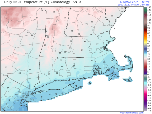
The large storm system that has been sitting over Atlantic Canada for much of the week giving us gusty winds, cold temperatures, and occasional snow showers/flurries will finally loosen its grip on the region over the next day or so. Winds will finally start to diminish during the day on Friday, and temperatures will start to moderate, getting back to near to even a little normal for early January on Friday. On Saturday, the low pressure system that some of the models tried to develop into a blockbuster blizzard will pass well south of the region, with no impact at all here. However, an upper-level disturbance will move through, with some light snow or snow showers Saturday morning and into part of the afternoon. For most of the region, accumulations will be an inch or less, but a few spots could pick up 2 inches or so. Once that system pulls away, high pressure builds in with seasonably cold and dry conditions for Sunday and Monday.

Thursday night: Clear skies, still breezy. Low 18-25.
Friday: Lots of sunshine, winds diminish during the afternoon. High 33-40.
Friday night: Increasing and thickening clouds. Low 19-26.
Saturday: Light snow or snow showers develop in the morning, ending in the afternoon. A coating to 2 inches of accumulation is expected. High 29-36.
Saturday night: Clearing. Low 18-25.
Sunday: Mostly sunny. High 31-38.
Sunday night: Partly cloudy. Low 19-26.
Monday: Partly sunny. High 33-40.
