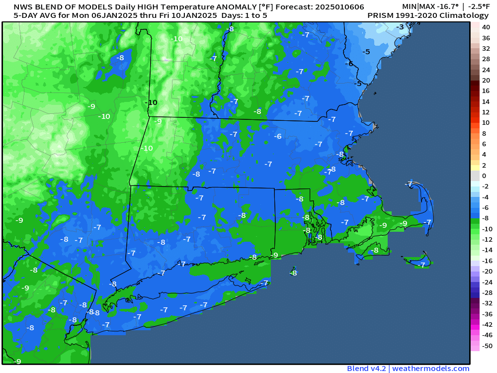
Some chilly weather, even by January standards, is expected for much of the week, but things could get complicated next weekend.
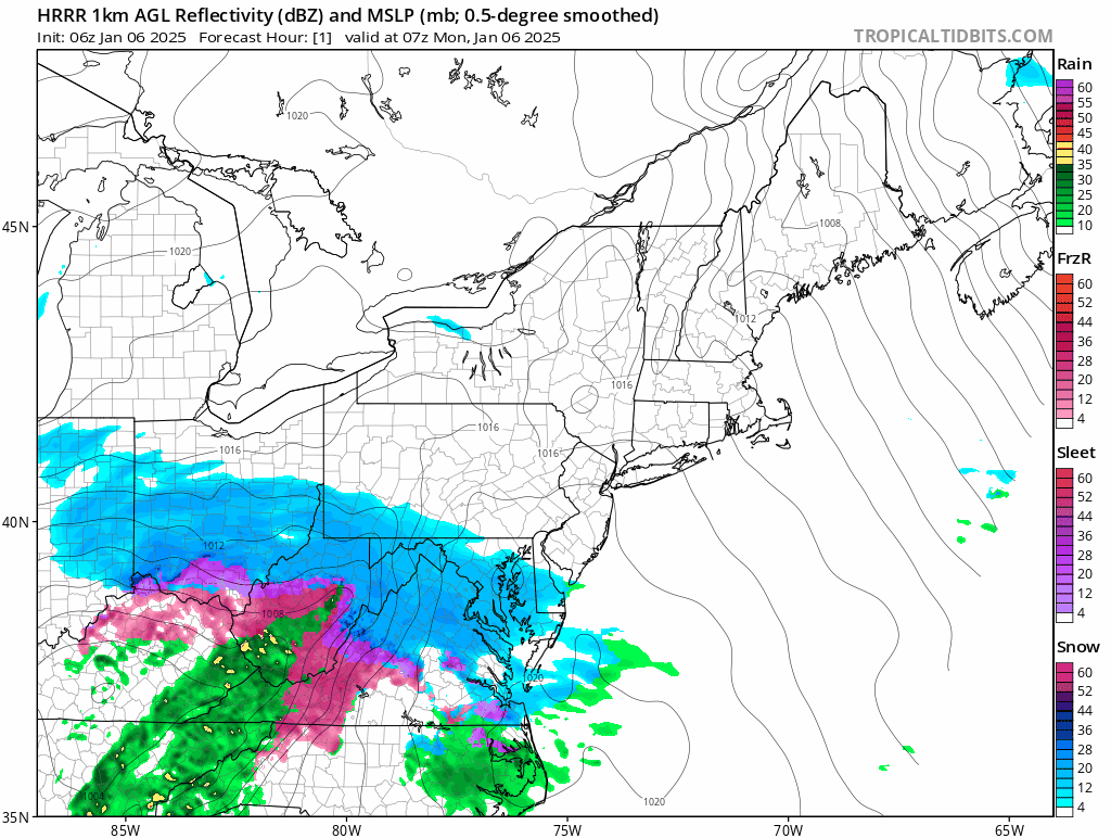
A low pressure system will pass south of New England today. This is the same storm that brough blizzard conditions to Kansas City over the weekend, and a decent-sized snowstorm to Washington, DC today. Around here, it’ll just bring in clouds, and maybe a few flurries to the Cape and Islands. That storm will combine with another one over Newfoundland and remain in place for much of the week, resulting in generally dry but breezy and chilly conditions through Friday. Some weak upper-level disturbances may move through at times, generating a few snow showers here and there, but they’ll be on the light side.
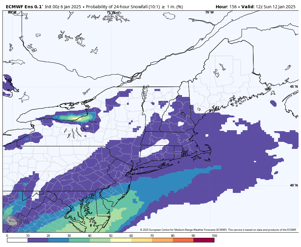
By the end of the week, a storm system will begin taking shape that could produce wintry weather from Texas into the Tennessee Valley at the end of the week. What it does next weekend is still a big question mark, and dependent on a few upper-level features that are still out over the Pacific Ocean, which makes things highly uncertain at this point. You may have seem some of the usual characters on social media (a.k.a. Facebook Forecasters) posting maps showing a massive blizzard impacting New England. Yes, some of the models have shown this, and yes it’s possible, but the odds of it happening at this point seem fairly low to us. There are two other scenarios shown on the models that seem more likely, at least for now. One scenario is that the system moves off the Carolina or Mid-Atlantic coastline and stays well to the south, with no impacts up here at all, similar to today’s system. A second scenario is that the storm does develop, and moves off the Mid-Atlantic coast, but stays just far enough offshore that we are only on the fringe of the storm, with some light snow for part of the region. For now, we’re going to lean towards these latter scenarios, while keeping a close eye on the development of the system, just in case, the initial scenario becomes more likely (though we don’t expect at that to be the coast). We’ll obviously have much more clarity when we publish our Weekend Outlook Thursday afternoon.
Monday: More clouds than sun, slight chance for a flurry across Martha’s Vineyard and Nantucket, skies may start to clear out late in the day. High 23-30.
Monday night: Clouds hang around across the Outer Cape, clearing elsewhere, becoming breezy. Low 11-18.
Tuesday: A mix of sun and clouds, a stray snow shower is possible, breezy. High 22-29.
Tuesday night: Clear to partly cloudy, breezy. Low 12-19.
Wednesday: Sunshine and some afternoon clouds, maybe a snow shower, windy. High 21-28.
Thursday: Partly sunny, slight chance for a flurry, breezy. High 24-31.
Friday: Mostly sunny, not as chilly. High 31-38.
Saturday: Intervals of clouds and sun, slight chance for some light snow at night, favoring areas south of Boston. High 30-37.
Sunday: Intervals of clouds and sun with a slight chance for some light snow, mainly south of Boston. High 30-37.
