We’ve got a couple of chilly days coming up, but a warmup is in store for the end of the weekend.
The storm system that brought us snow earlier today continues to pull away and a cold front moves through this evening with a few snow showers or squalls, setting the stage for a couple of chilly days across the region. Gusty west to northwest winds usher much cooler air in for tonight and Friday as skies clear out with high pressure building in. Many places may not reach freezing on Friday, and wind chills will be in the teens in spots. Saturday looks fairly chilly as well, but we’ll see some clouds stream in ahead of another fast-moving storm system. That system passes north of the region Saturday night and early Sunday, with a few snow showers possible, mainly north of the Mass Pike. We’ll start to turn milder on Sunday as winds become southwesterly. Monday will see more clouds move in ahead of another storm system, which brings in some showers during the afternoon, but south to southwest winds will send temperatures back up well into the 40s.

Thursday night: Any lingering snow showers end in the evening, becoming clear to partly cloudy, breezy. Low 21-28.
Friday: Sunshine and some afternoon clouds, breezy. High 28-35.
Friday night: Clear to partly cloudy. Low 17-24.
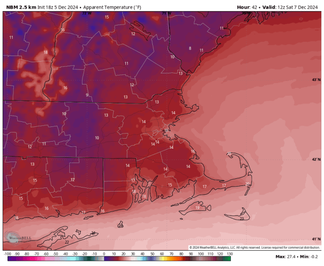
Saturday: Sunny in the morning, then clouds move in during the afternoon. High 31-38.
Saturday night: Becoming mostly cloudy, chance for some late-night snow showers, mainly north of the Mass Pike. Low 20-27.
Sunday: Morning clouds and a few snow showers north of the Mass Pike, some clearing late in the day. High 38-45.
Sunday night: Partly cloudy. Low 27-34.
Monday: Becoming mostly cloudy, showers develop in the afternoon. High 43-50.
