We’re flipping the calendar to October, but it will remain fairly mild around here this week and pretty active in the tropics.

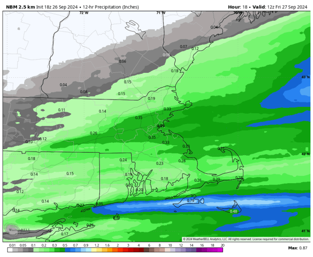
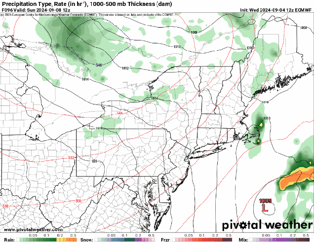
The week starts off with high pressure in control, keeping us dry and seasonably cool, but sunshine will be limited. The combination of east to northeast winds off the Atlantic and high clouds streaming in from what’s left of Helene will result in gray skies for the most part, with a little fog developing each morning as well. A cold front moves in on Wednesday, but it will only be accompanied by a few showers, so much of the region may remain dry once again, but temperatures should turn milder with southwest winds ahead of the front. High pressure builds in behind the front with clearing and mild temperatures for Thursday and Friday. Another cold front will move early in the weekend with some more showers, then high pressure returns for the end of the weekend.

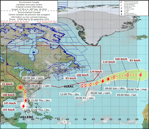
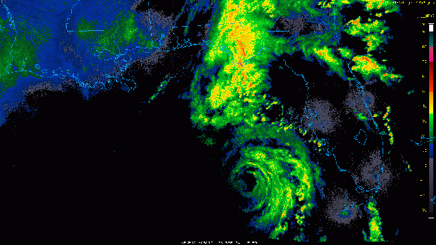
As for the tropics, we have three active systems right now, and another could be on the way. Tropical Storm Isaac was centered about 515 miles north-northwest of the Azores as of 5am Monday, moving toward the east-northeast at 15 mph. Maximum sustained winds were down to 65mph. Isaac should become extratropical later today while heading northeastward over the open waters of the North Atlantic. Tropical Depression Joyce is centered about 910 miles east-northeast of the Northern Leeward Islands, moving toward the west at 2mph. Maximum sustained winds were down to 35 mph, and the storm is expected to turn northward and dissipate over open water in the next day or two. Tropical Depression 12 is centered about 690 miles west of the Cabo Verde Islands, moving toward the west at 8 mph. Maximum sustained winds are near 35 mph. The system should quickly strengthen, becoming a tropical storm later today, and a hurricane in the next couple of days. It could become a rather potent storm later this week, but it should turn more toward the northwest, not impacting any land areas at all.

There are two other areas we’re keeping an eye on this week. The first is the western Caribbean, where there is a mass of disorganized showers and thunderstorms this morning, but forecast models show the potential for them to organize into a system over the next few days. Assuming it develops, it could move into the Gulf of Mexico later this week, but it’s far too early to speculate on where it may go beyond that, or how strong it might be, as there isn’t a system yet to track. The other area is a tropical wave that just moved off the west coast of Africa. There’s not much too it right now, but forecast models show the potential for it to develop as it moves westward across the Atlantic later this week.
Monday: Areas of morning fog, then intervals of clouds and sunshine. High 67-74.
Monday night: Mostly cloudy with some patchy fog. Low 51-58.
Tuesday: Partly to mostly cloudy. High 62-69.
Tuesday night: Mostly cloudy. Low 49-56.
Wednesday: Partly sunny, slight chance for a shower. High 62-69.
Thursday: A mix of sun and clouds. High 68-75.
Friday: Partly sunny, showers possible at night. High 71-78.
Saturday: Chance for morning showers, then becoming partly to mostly sunny. High 66-73.
Sunday: Mostly sunny. High 60-67.