Unsettled weather returns this week, but that doesn’t mean any of the days will be a washout.
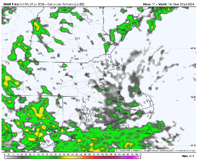
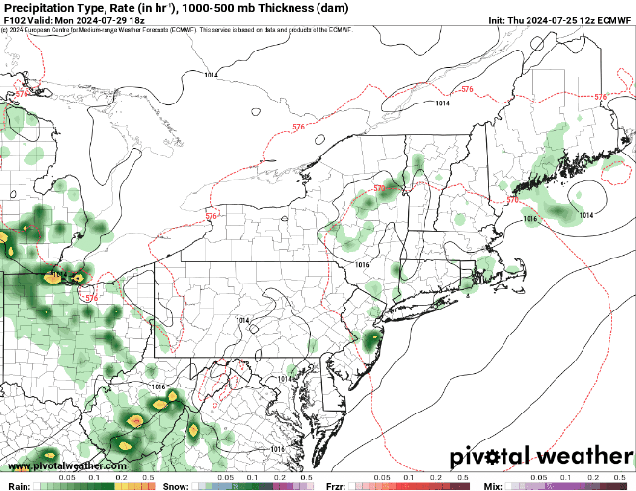
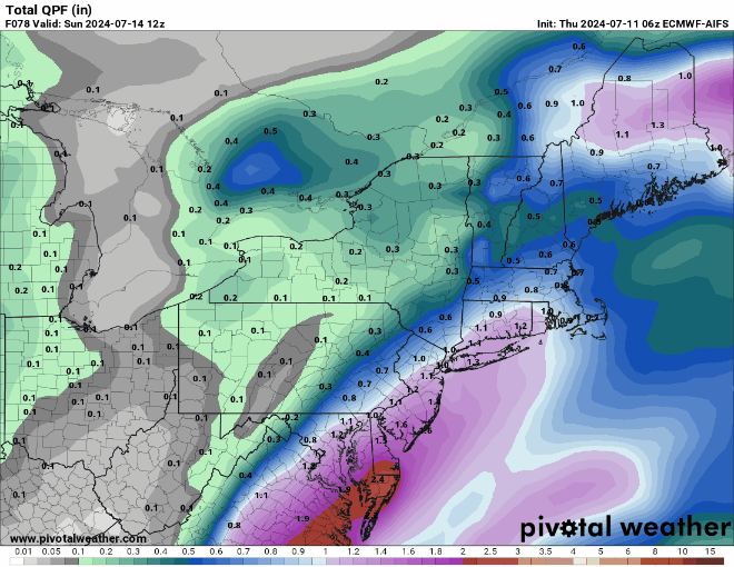
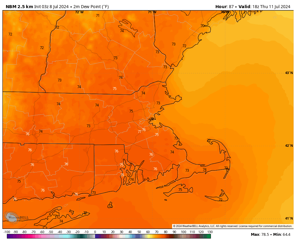
A weak low pressure system will pull away from the region today, with any lingering showers coming to an end, and some sunny breaks developing. We could see a few more showers and thunderstorms pop up during the afternoon, but they’ll likely be few and far between. After that, the Bermuda High sets up shop offshore once again, with humidity levels increasing, and temperatures following suit later in the week. We’ll have a series of weak upper-level disturbances also scooting across the Northeast, and these will help to trigger some pop-up showers and thunderstorms each afternoon right through the week. Once of these disturbances may be a little stronger than the others when it moves through on Wednesday, which could lead to some stronger storms, with heavy downpours and strong winds possible in some of them. By the end of the week, temperatures may top 90 again in some areas, accompanied by high humidity, resulting in heat indices well into the 90s or even higher.

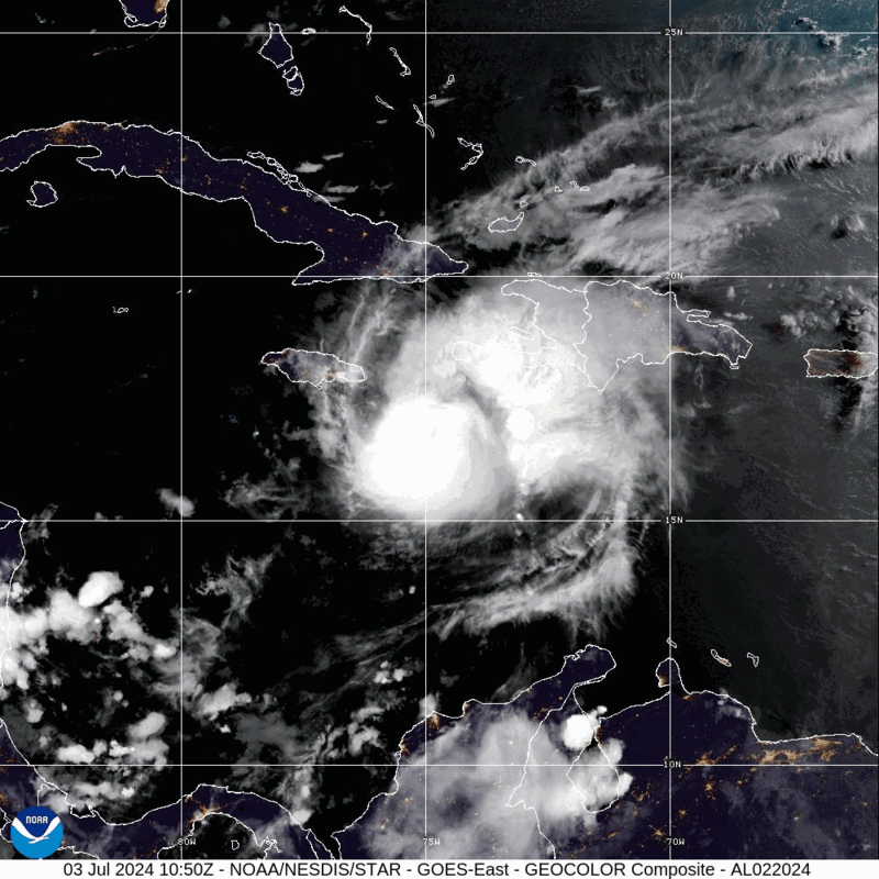
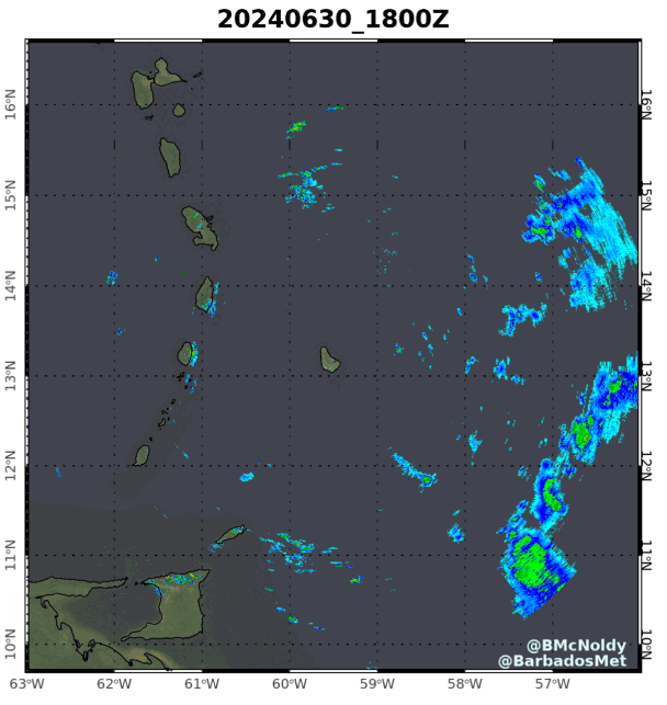
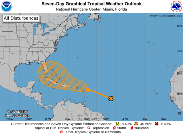
Just a quick note about the tropics as well. After Beryl made landfall in Texas, it’s been rather quiet for a few weeks, but that may be changing. A tropical wave crossing the Atlantic may interact with another disturbance as it approaches the Lesser Antilles. There is some potential for this system to develop into a tropical depression later this week. One of the forecast models has been rather insistent on the development of this system, and not only that, it tries to make it a threat to the East Coast. This is just one model, and most of the others do not show this scenario. Of course, this hasn’t stopped the Facebook Forecasters from cranking up the hype machine already. The odds that this system will be a threat up here are extremely tiny at this point in time. We won’t say they are zero, but for now, it’s roughly the same odds that the USA Basketball team doesn’t win a medal at the Olympics. Still, it’s looking like the next couple of months will be rather active, and we are extremely overdue for a hurricane to come calling, so we’ll be keeping a close eye on things for you and will let you know if there is a storm we actually need to be concerned about.
Monday: Plenty of clouds with showers early, some afternoon sunny breaks with another shower or thunderstorm possible, humid. High 71-78.
Monday night: Any lingering showers end in the evening, otherwise partly cloudy, areas of patchy fog may develop. Low 62-69.
Tuesday: Partly sunny, slight chance for an afternoon shower or thunderstorm. High 81-88.
Tuesday night: Partly to mostly cloudy. Low 66-73.
Wednesday: Intervals of clouds and sunshine with scattered showers and thunderstorms, a few could produce heavy downpours and gusty winds. High 76-83.
Thursday: A mix of sun and clouds, chance for a pop-up shower or thunderstorm. High 82-89.
Friday: Partly sunny, some late-day showers or thunderstorms are possible. High 84-91.
Saturday: Partly sunny, chance for a shower or thunderstorm. High 84-91.
Sunday: A mix of sun and clouds, slight chance for a shower or thunderstorm. High 83-90.