More wet weather is on the way to close out June, but the weekend won’t be a washout.

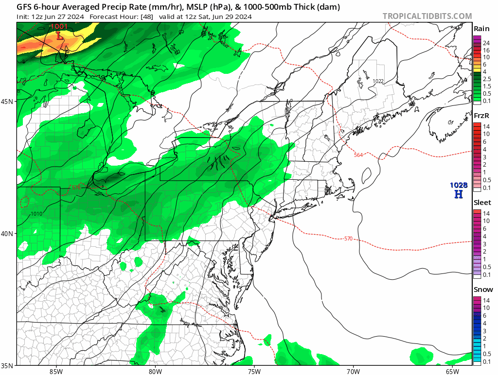
High pressure continues to build in for tonight and Friday with generally dry weather and seasonably mild temperatures. As the high slides offshore, warm and humid weather will move back in Friday night and Saturday along with clouds as a cold front approaches from the west. Most of Saturday should remain dry, albeit warm and humid, but another round of showers and thunderstorms will move in by evening, and continue overnight and into a good chunk of Sunday. The cold front moves through later Sunday, bringing an end to the shower activity, with drier weather pushing in behind it. High pressure builds back in for Monday with sunshine, cooler temperatures, and lower humidity once again.
Thursday night: Clear and cool. Low 51-58.
Friday: Plenty of sunshine. High 71-78.
Friday night: Becoming partly cloudy. Low 54-61.
Saturday: Some morning sun, then skies become mostly cloudy and humid with some showers and thunderstorms possible by evening, breezy. High 73-80.
Saturday night: Cloudy and breezy with showers and thunderstorms likely. Low 63-70.
Sunday: Breezy with showers and thunderstorms ending, some clearing may take place late in the day. High 81-88.
Sunday night: Partly cloudy. Low 58-65.
Monday: Partly to mostly sunny. High 73-80.
