The first weekend of June should feature some fantastic weather for our area.
Low pressure pulls away from the region this evening, taking the last of the showers with it, then skies clear out, resulting in a chilly night, with temperatures dropping into the 40s in many areas. High pressure builds in for Friday with sunshine and temperatures turning milder, but still near or a little below normal for the final day of May. We’ll warm up more on Saturday as the high moves off to the East. A weak system will try to move in on Sunday, bringing us some clouds, but it looks like any rain with it should stay off to our south and west. Sunshine returns on Monday, with just a few pop-up showers or thunderstorms possible in the afternoon, mainly across the interior.

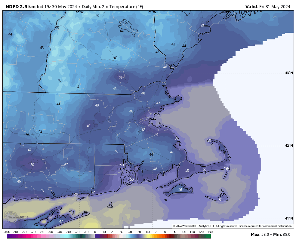
Thursday night: Any lingering showers end this evening, then skies clear out. Low 44-51.
Friday: Sunshine and some afternoon clouds. High 68-75, coolest along the coast.
Friday night: Clear skies. Low 47-54.
Saturday: Plenty of sunshine. High 74-81, a little cooler near the coast.
Saturday night: Partly cloudy. Low 50-57.
Sunday: Partly sunny, just a slight chance for a late-day shower. High 75-82, a little cooler near the coast.
Sunday night: Partly cloudy. Low 53-60.
Monday: Partly to mostly sunny, a pop-up shower or thunderstorm is possible in the afternoon. High 76-83, a little cooler near the coast.
