Unsettled weather is expected to start the week, but the end should be drier.
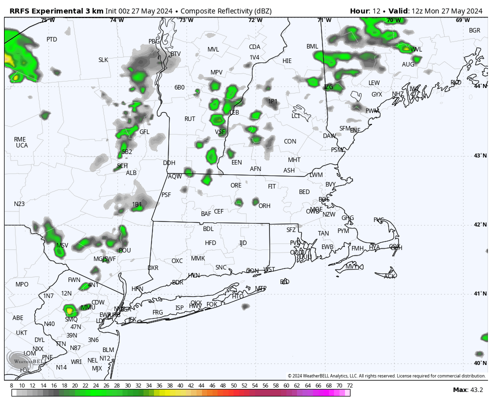
Low pressure heading into southeastern Canada will send a warm front toward the region today, but it likely stays to our south, meaning we’ll be cooler than the last several days. A few showers are possible ahead of the front during the morning and early afternoon, but the bulk of the rain should accompany the cold front later Monday and Monday night. Some of that rain could be heavy, but flooding isn’t too much of a concern, as it the rain should end fairly quickly. In fact, as the cold front moves offshore, we’ll quickly clear out on Tuesday with warmer temperatures return. After that, an upper-level low pressure area will settle into the Northeast, with cooler weather return for the middle to latter half of the week. Clouds will return on Wednesday as another system approaches the region. This system may bring in some more rain for Wednesday night into Thursday, but there is quite a bit of spread in the model solutions for this next system, so how much rain, if any, and when to expect it, is still highly uncertain. High pressure then builds in for the end of the week and the weekend, with a warming trend expected.
Editorial Note: Our annual start of hurricane season blog, including stats about how overdue we are heading into which is expected to be a very active season, will be published on Friday, in advance of the official start of hurricane season on Saturday.
Monday: Plenty of clouds, some areas of fog to start the day, especially south of Boston, some showers possible during the morning and early afternoon, becoming more widespread late in the day, breezy in the afternoon. High 67-74.
Monday night: Cloudy with rain and some thunderstorms likely, possibly heavy, ending shortly after midnight. Low 57-64.
Tuesday: Early clouds, then becoming partly to mostly sunny. High 76-83, cooler along the South Coast.
Tuesday night: Clear skies. Low 55-62.
Wednesday: Sunny in the morning, then increasing clouds, showers possible at night. High 71-78.
Thursday: More clouds than sun with a chance of showers. High 64-71.
Friday: Partly sunny. High 65-72.
Saturday: A mix of sun and clouds. High 67-74, a little cooler near the coast.
Sunday: Partly sunny. High 71-78, cooler along the coast.
