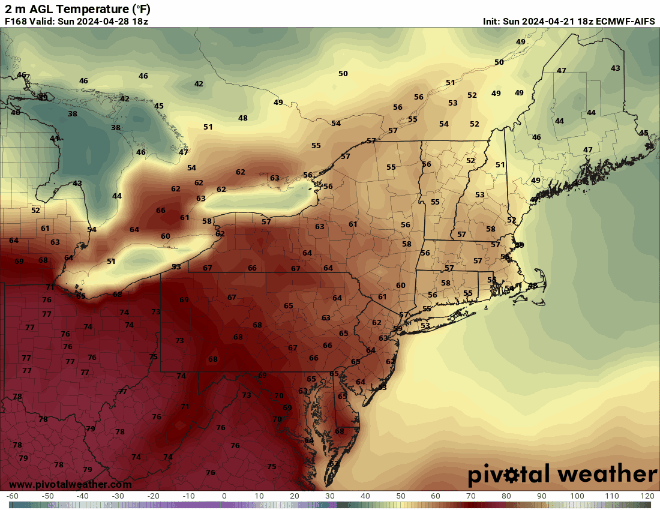
Much, but not all, of the upcoming week will feature dry weather and cooler than normal temperatures.

We start the week off on a chilly note with high pressure in control, but it will bring us plenty of sunshine today and Tuesday. Some clouds start to move in by Tuesday evening as a cold front moves in from the west. We’ll turn milder ahead of the front for Tuesday and Wednesday, but will also have some rain showers to contend with on Wednesday. This does not look like a heavy rain event, but it will be a wet day, especially during the morning. We may start to clear out by late in the day, with gusty winds ushering cooler air back in for Wednesday night and Thursday. High pressure builds in for Friday with sunshine, lighter winds, and cool temperatures. We’ll start to warm up a bit on Saturday as the high slides off to the east, then another cold front approaches on Sunday with another round of showers possible. However, if that cold front moves in slower, as some models suggest, not only could the day end up dry, it could end up quite mild as well.
Monday: Plenty of sunshine. High 51-58.
Monday night: Clear skies. Low 30-37.
Tuesday: More sunshine, clouds start to move in late in the day. High 56-63, cooler along the coast.
Tuesday night: Becoming partly to mostly cloudy, showers possible toward daybreak. Low 37-44.
Wednesday: Showers likely through early afternoon, skies start to clear out late in the day, becoming breezy. High 56-63.
Thursday: Lots of sunshine, breezy. High 49-56.
Friday: Sunshine continues. High 54-61.
Saturday: Partly sunny, breezy. High 58-65.
Sunday: More clouds than sun, chance for showers, breezy. High 60-67.
