Milder weather is on the way for the upcoming weekend.

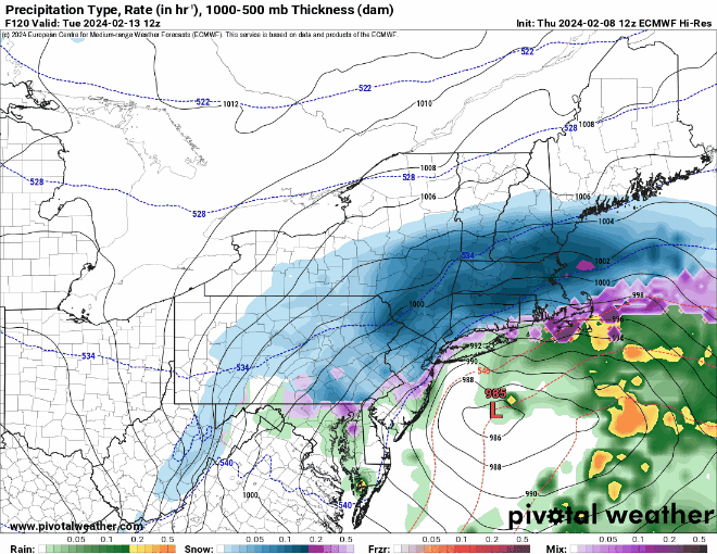
We finally got some sunshine over the past several days, but unfortunately, there are more clouds on the way. They’ll spread across the region tonight as low pressure moving into the Great Lakes sends a warm front our way. There could be a stray rain or snow shower accompanying the warm front, but they’ll be few and far between. We’ll see some sunshine return on Friday along with milder temperatures, with highs getting well into the 40s. Clouds come back Friday night and much of Saturday, but south to southwest winds will result in a very mild day for Saturday. High temperatures should get well into the 50s away from the coastline, with some places possibly topping 60. Along the coast, especially south-facing shorelines, we’ll have a seabreeze (yes, in February), keeping temperatures in the 40s, which is still well above normal. A cold front moves through late in the day, bringing some showers with it. High pressure builds in behind the front for Sunday, but the air isn’t that much colder. Most of us will still be in the 40s, with a few spots possibly reaching 50 again. Clouds stream back in Sunday night and Monday as low pressure heads toward the Mid-Atlantic states. The hype train left the station yesterday for this storm, as several computer models showed the potential for a sizeable snowstorm Monday night and Tuesday. Well, the models all continue to shift, and range from a moderate snowstorm, to a snow to rain situation, to a complete miss to the south. It’s still several days away, so things will continue to change, and if it does become a threat, we’ll go into more detail on our Weekly Outlook early Monday morning. For now, don’t believe the hype and don’t get too worked up about it.
Thursday night: Clear skies through the evening, clouds move in overnight, slight chance for a sprinkle or flurry. Low 25-32.
Friday: Morning clouds, becoming partly sunny in the afternoon, a little breezy at times. High 42-49.
Friday night: Becoming partly to mostly cloudy. Low 32-39.
Saturday: Partly to mostly cloudy with some showers likely during the afternoon and evening. High 52-59, cooler along south-facing shorelines.
Saturday night: Any lingering showers end during the evening, some clearing possible late at night. Low 35-42.
Sunday: A mix of sun and clouds, breezy. High 44-51.
Sunday night: Partly cloudy. Low 27-34.
Monday: Becoming mostly cloudy, chance for some snow or rain towards evening. High 40-47.
