The sun will finally return this weekend (but not tomorrow, sorry Annie).
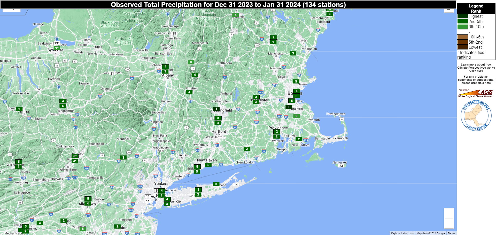
We have had little to no sunshine around here for over 10 days now, but that will finally change. A cold front will drop down from the north tonight and Friday, with a few showers ahead of it tonight. A wave of low pressure will develop along the front, bringing some additional showers in on Friday, mainly south of the Mass Pike, as the front moves by. One more weak disturbance moves through Friday evening and night with a few more rain or snow showers, then high pressure finally starts to build in. Skies may be slow to clear out on Saturday, but the sun should finally return. Sunday and Monday should both feature sunshine, though we may have some more clouds around at times on Monday.

Thursday night: Cloudy, chance for a few showers. Low 25-32.
Friday: Plenty of clouds, a few more showers likely, especially south of the Mass Pike. High 38-45.
Friday night: Some rain or snow showers during the evening, some clearing late at night, especially north and west of Boston, becoming breezy near the coast. Low 21-28.
Saturday: A few snow showers across Cape Cod early, gradual clearing from northwest to southeast during the day, a little breezy at times. High 32-39.
Saturday night: Partly cloudy across Cape Cod, clear skies elsewhere, breezy along the coast. Low 18-25.
Sunday: Plenty of sunshine. High 34-41.
Sunday night: Partly cloudy across southeastern Massachusetts and Cape Cod, clear elsewhere. Low 19-26.
Monday: Partly to mostly sunny, breezy. High 32-39.
