Another dry weekend coming up? Where were these during the summer?
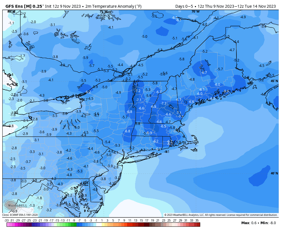
If you were up early enough this morning, some parts of the region had some sleet or even a few wet snowflakes for the first time this season. Don’t worry, they won’t be back for a while. Any lingering rain showers will end this evening, and while we may see a little clearing overnight, clouds quickly return on Friday as an upper-level disturbance moves across the region. Could there be a shower or two? It’s possible, but for the most part, it just be cloudy, breezy, and cool. High pressure builds in for the weekend with lots of sunshine, but again, temperatures will remain on the cool side. Another upper-level disturbance brings clouds back in on Monday, but again, we should remain dry for the most part, with only a few stray showers expected.
Thursday night: A lingering shower this evening, then becoming partly cloudy. Low 33-40.
Friday: Mostly cloudy, slight chance for a shower, skies start to clear out late in the day, breezy. High 45-52.
Friday night: Clear skies. Low 31-38.
Saturday: Sunshine and a few clouds. High 43-50.
Saturday night: Clear to partly cloudy. Low 25-32.
Sunday: Partly to mostly sunny. High 38-45.
Sunday night: Clear to partly cloudy. Low 23-30.
Monday: Morning sun, increasing afternoon clouds, slight chance for a late-day shower. High 42-49.
