Another rainy Monday is on the way, but much of the upcoming week will feature dry weather.
A frontal system will move into the region today while an area of low pressure develops off the Mid-Atlantic coastline. The low will ride up the front, passing close to or across southeastern New England later today. The result will be periods of rain and showers through the day today, some of which could be heavy at times. Some localized flooding is possible in spots, but we should have any flooding to the magnitude we saw last Monday. Everything winds down tonight as the system pulls away, then high pressure builds in with dry and seasonably mild conditions for Tuesday through Friday and probably Saturday as well.

Late Saturday and Sunday is when things get complicated again. Low pressure will begin to develop off the Southeast coast later this week. As our high pressure system moves off to the east, moisture from the low to the south will start to head northward, and may result in some wet weather around here for Saturday night and Sunday. The forecast models don’t all have the same timing and evolution of this system, so we’ll likely be refining this part of the forecast when we get to our Weekend Outlook on Thursday.
Monday: Periods of rain and showers, some of the rain may be heavy at times. High 64-71.
Monday night: Showers ending, then areas of fog develop. Low 54-61.
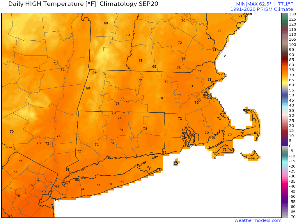
Tuesday: Becoming mostly sunny and breezy. High 68-75.
Tuesday night: Clear skies. Low 50-57.
Wednesday: Plenty of sunshine. High 69-76.
Thursday: Sunshine and a few clouds. High 68-75.
Friday: A mix of sun and clouds. High 68-75.
Saturday: Intervals of clouds and sun, rain possible at night. High 65-72.
Sunday: Mostly cloudy with a chance of showers. High 65-72.
