While the tropics remain active, our weather pattern definitely isn’t.
High pressure will remain in control through Saturday, providing plenty of sunshine, but keeping temperatures cool, though we’ll start to moderate over the weekend. A weak disturbance will bring in some clouds late Saturday and Saturday night, but high pressure builds back in for Sunday and Labor Day with more sunshine, warmer temperatures, but also more humidity.

Thursday night: Clear skies. Low 48-55.
Friday: Plenty of sunshine. High 69-76.
Friday night: Clear skies. Low 52-59.
Saturday: Sunshine and some late-day clouds. High 74-81.
Saturday night: Partly cloudy. Low 58-65.
Sunday: Early clouds, then becoming sunny. High 79-86, a little cooler near the South Coast.
Sunday night: Clear to partly cloudy. Low 60-67.
Labor Day: Sunshine and a few clouds. High 81-88, a little cooler near the South Coast.

Meanwhile, we have three named storms in the Atlantic, but only one may still be a threat to land.
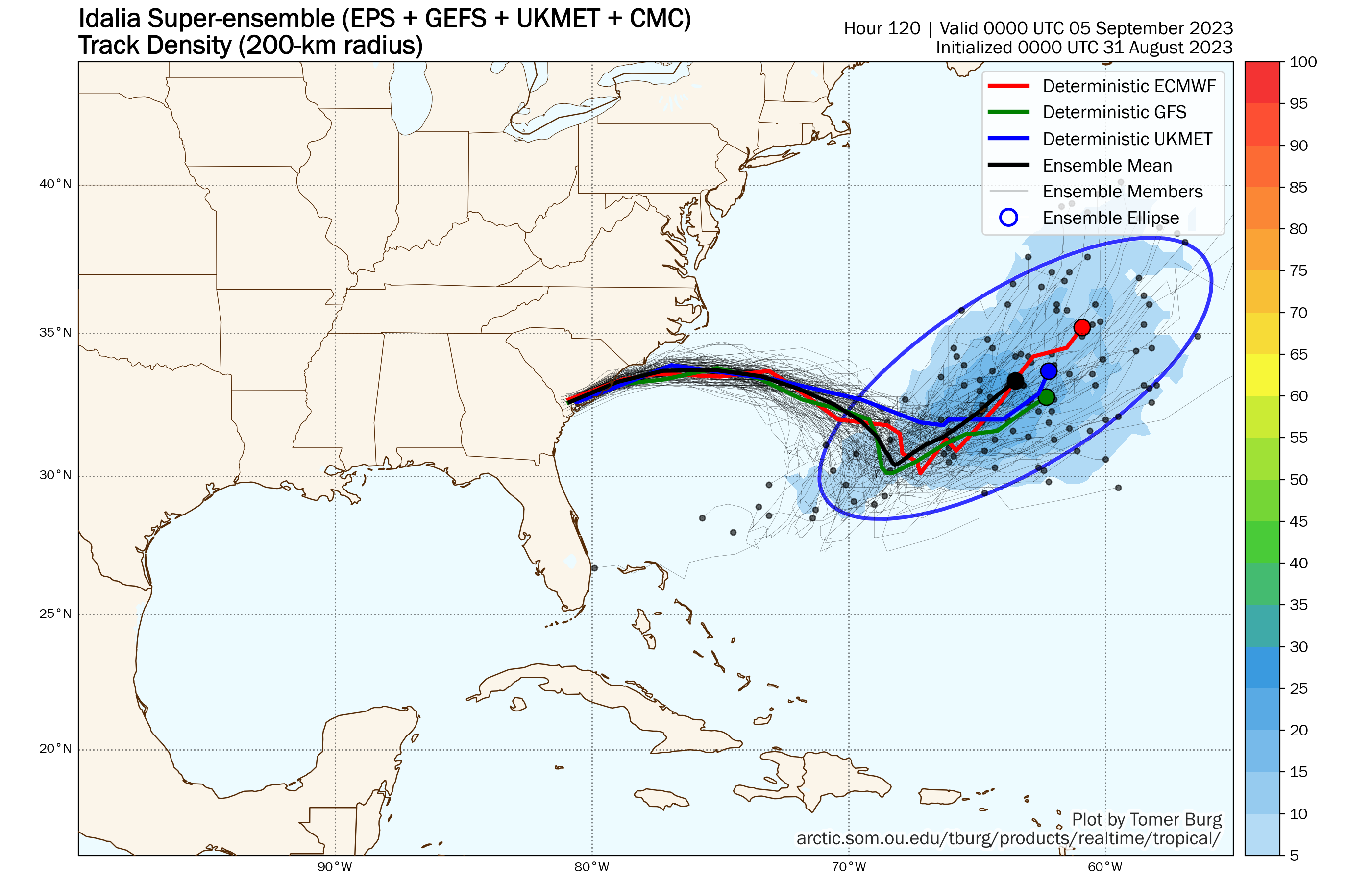
Tropical Storm Idalia has moved off the North Carolina coast and is weakening. As of 2pm, it was centered about 120 miles southeast of Cape Lookout, North Carolina, moving toward the east at 20 mph. Maximum sustained winds were near 65 mph. Idalia is starting to interact with a frontal system just to the north and will likely become an extratropical system later today or tonight. However, that’s likely not the end of Idalia’s story. It will continue eastward, and as it moves over the warmer waters of the Gulf Stream, it may start to regain tropical characteristics and possibly strengthen again. It could be a threat to Bermuda this weekend, but beyond that, its future is a little murky. The steering currents may collapse, and Idalia could stall out and/or drift around near Bermuda. Many models have it start moving toward the northeast and out to sea, but this is hardly a lock. It will continue to generate some rough surf for the East Coast into next week.
Farther to the east, Hurricane Franklin continues to pull away from Bermuda this afternoon. As of 11am, Franklin was centered about 265 miles northeast of Bermuda, moving toward the east-northeast at 14 mph. Maximum sustained winds were still near 100 mph. Franklin’s future is fairly straightforward. It will head northeastward over open water while slowly weakening and losing tropical characteristics over the next few days without impacting any land areas.

We also have Tropical Storm Jose in the Atlantic. As of 11am, Jose was centered about 770 miles east of Bermuda, moving toward the north at 7 mph. Maximum sustained winds were near 40 mph. Jose is expected to continue northward and weaken, and it will likely be absorbed by Franklin over the next day or two.
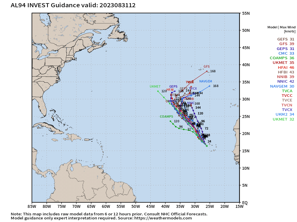
Way out in the Atlantic is an area of low pressure just west of the Cabo Verde Islands. It is slowly organizing, and conditions are favorable for more development. It could become a tropical depression by this weekend. Whether it develops or not, steering currents should send the system northwestward over open water through the weekend with no threat to any land areas.
