Our unsettled pattern will continue for a good chunk of the week, but some changes are expected.
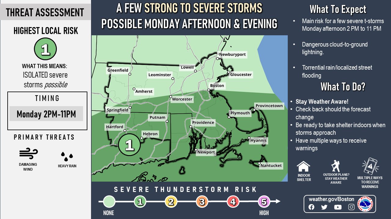
We start the week off with a similar pattern to what we’ve had for a while now. An upper-level trough of low pressure moving from the Great Lakes into the Northeast with a frontal system at the surface stalled out across the region. That front will trigger some showers and thunderstorms again today, a few of which could be quite strong. More heavy rain is possible with some storms, which could lead to areas of flooding, especially from northern Connecticut across central and northeastern Massachusetts and southern New Hampshire, where as much as 2-4 inches of rain fell on Sunday. The front will dissipate across the region on Tuesday, with some additional showers and thunderstorms possible, but they shouldn’t be as widespread as today, which is good news for July 4th celebrations in many locations.

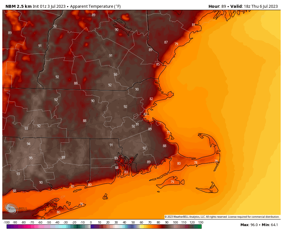
Wednesday and Thursday feature a change, as a ridge of high pressure builds in both at the surface and aloft. This means we’ll be drier and warmer, with many spots approaching 90 degrees. The change will be short-lived though, as another frontal system approaches on Friday, and slows down as it moves across the region next weekend. A wave of low pressure may ride along it while another upper-level trough moves in from the Midwest, meaning that we’re back in the humid and unsettled pattern. While some showers and thunderstorms are expected each day, none of the days should be a washout.
Monday: Morning fog, then intervals of clouds and sunshine with showers and thunderstorms developing, some may be locally heavy. High 77-84, possibly a little warmer across southeastern Massachusetts and Rhode Island.
Monday night: Partly to mostly cloudy, more showers and thunderstorms through the evening, tapering off overnight, areas of fog develop. Low 63-70.
Independence Day: Partly sunny with a chance for some additional showers and thunderstorms. High 76-83.
Tuesday night: Showers and storms end in the evening, then becoming partly cloudy. Low 62-69.
Wednesday: Partly to mostly sunny. High 81-88.
Thursday: Sunshine and a few clouds. High 83-90, a little cooler right at the coast.
Friday: A mix of sun and clouds, chance for a few late-day showers and thunderstorms. High 82-89.
Saturday: Partly sunny with some showers and thunderstorms possible. High 79-86.
Sunday: Intervals of clouds and sun with more showers and thunderstorms likely. High 77-84.
