While the weather won’t be perfect for a long holiday weekend, it won’t be as bad as your weather app say it will be.

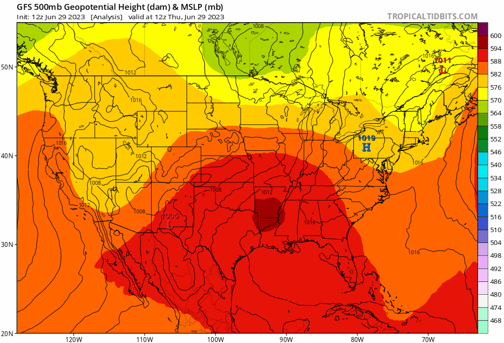
We’ll have high pressure building in, and remaining in place through Saturday, which means drier weather and lower humidity, but it will remain warm. There’s still a slight chance for a pop-up shower Friday afternoon, but these should be few and far between. Clouds will start to move in late Saturday ahead of a slow-moving frontal system. In addition, another upper-level low will move into the Great Lakes, with disturbances riding around it. So, that means that for Sunday, Monday, and July 4th, we’re back in the same pattern we’ve been in, with higher humidity, and a daily chance for showers and thunderstorms, mainly during the afternoon and evening hours. None of the days should be a washout, but if you’ve got outdoor plans, make sure you keep an eye on the sky (or the radar), and be prepared to head inside if need be. For fireworks displays Tuesday night, most of the thunderstorm activity should diminish after sunset, but obviously, this is a little hard to pinpoint several days in advance.
Thursday night: Clear to partly cloudy, some patchy fog may develop. Low 60-67.
Friday: A mix of sun and clouds, slight chance for a stray shower during the afternoon. High 78-85, coolest along the coast.
Friday night: Partly cloudy. Low 59-66.
Canada Day: Partly sunny. High 78-85, coolest along the coast.
Saturday night: Becoming mostly cloudy, chance for a few late-night showers. Low 62-69.
Sunday: Intervals of clouds and sun with showers and thunderstorms developing, most widespread during the afternoon. High 74-81.
Sunday night: Mostly cloudy with showers and thunderstorms tapering off during the evening. Low 63-70.
Monday: Partly sunny, showers and thunderstorms pop up during the afternoon. High 78-85.
Monday night: Partly to mostly cloudy, showers end in the evening. Low 63-70.
Fourth of July: Intervals of clouds and sun, showers and thunderstorms possible during the afternoon and evening. High 77-84.
