Astronomical summer begins at 10:57am Wednesday, and right on cue, some summer weather will move into the region by then.

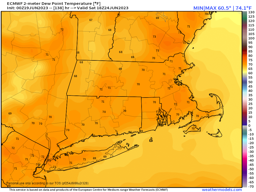
The week starts off with yet another upper-level low in place across the Northeast, which means we’ll have plenty of clouds generated each day along with some showers during the afternoon and evening hours. Showers may continue for a good chunk of the night tonight as another disturbance rotates around that upper-level low. Temperatures will remain on the cool side for mid-June, especially near the coast, where a seabreeze is likely. By Wednesday, the upper-level low moves away, and a ridge of high pressure builds into the East Coast. As a result, we’ll turn drier and warmer, with temperatures likely getting into the 80s in many locations, possibly approaching 90, especially on Friday. With the warmth will come increasing humidity levels, especially over the weekend, and which may allow for a few thunderstorms to pop Friday afternoon. The ridge starts to break down over the weekend as a disturbance moves toward the region, likely producing some showers and thunderstorms. Showers and thunderstorms become a little more numerous on Sunday ahead of a cold front dropping down from the north.
On a separate note, the tropics are starting to show signs of life. Aided by sea surface temperatures more reminiscent of late August than mid-June, a tropical wave that moved off the coast of Africa a few days ago has been slowly organizing over the weekend, Conditions are favorable for further development, and it will likely become a tropical depression at some point later today or Tuesday. Its immediate future calls for a westward track with gradual strengthening, and no threat to land for much of the upcoming week. As we get to the end of the week, that becomes more complicated. Once the storm does form, we’ll have a more detailed blog post about it, and what its future may look like.

Monday: Partly sunny, chance for a few showers or thunderstorms during the afternoon and evening. High 67-74, coolest along the coast.
Monday night: Partly to mostly cloudy with showers likely. Low 52-59.
Tuesday: Partly sunny, a few more showers possible, especially during the afternoon. High 66-73, coolest along the coast.
Tuesday night: Partly cloudy. Low 52-59.
Wednesday: Partly to mostly sunny. High 70-77.
Thursday: Sunshine and a few clouds. High 77-84, coolest along the South Coast.
Friday: A mix of sun and clouds, breezy, slight chance for a late-day shower or thunderstorm. High 80-87, coolest along the South Coast.
Saturday: More clouds than sun, breezy, scattered showers and thunderstorms develop. High 80-87.
Sunday: Partly to mostly cloudy, breezy, more showers and thunderstorms expected. High 75-82.
